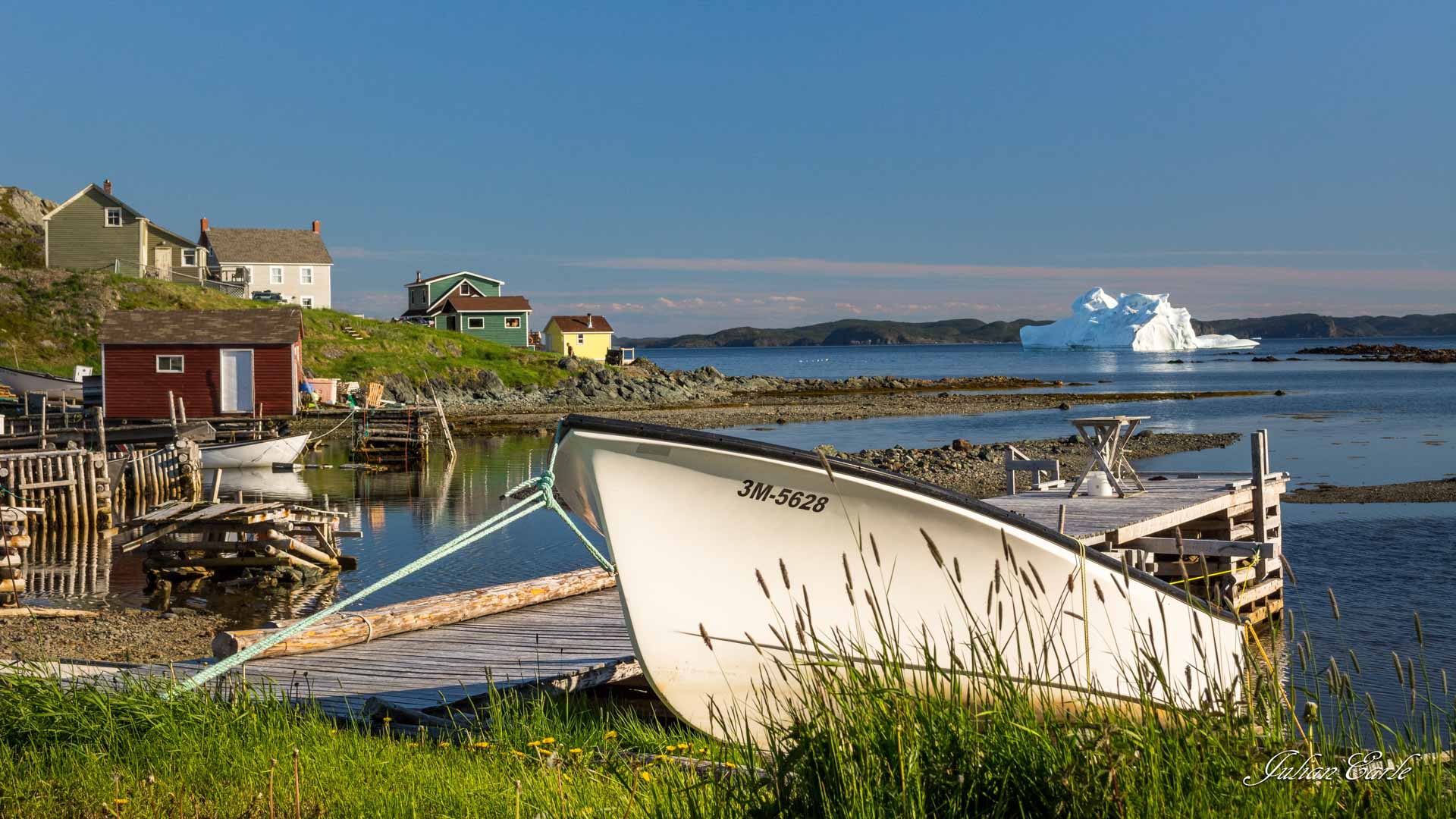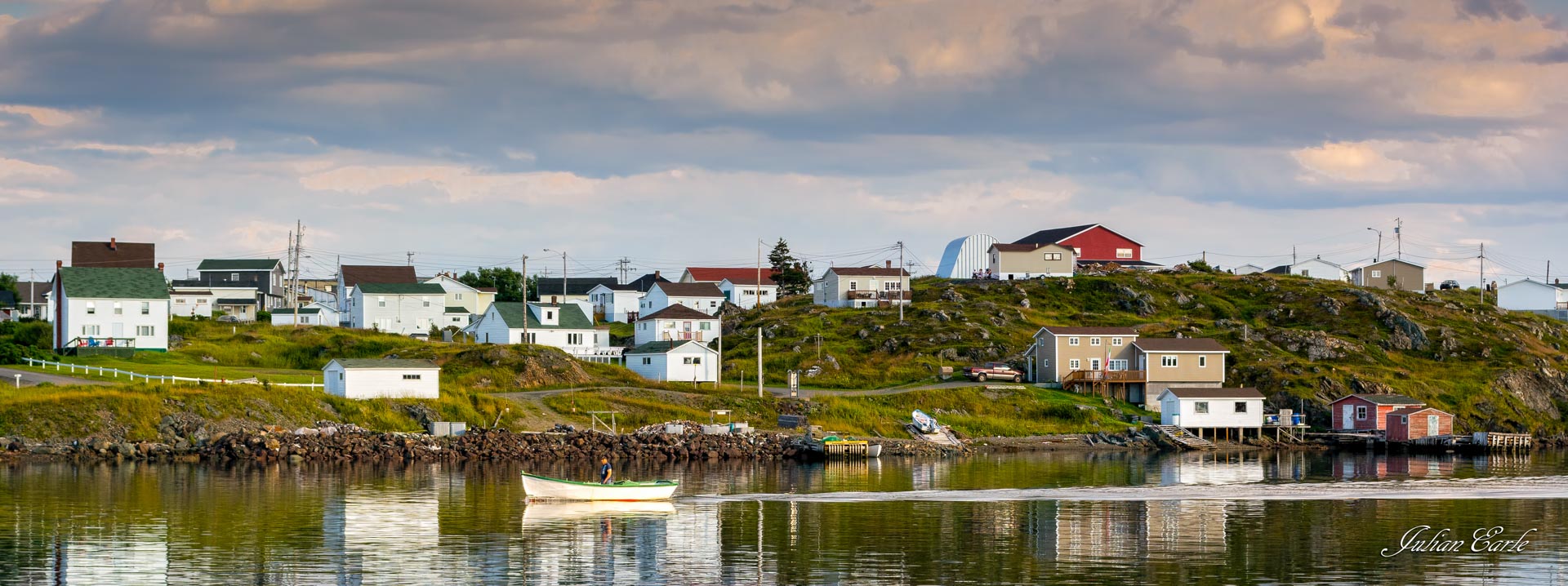
Where the name Rockcut come from?
A rock cut is an overhang in the cliffs or a cut in the rock that offers shelters from the wind that consistently batters Twillingate island. Back in the day, older people in the community would hike up into the hills and tuck into a rock cut to check on the water conditions, the ice flow, or to see their sons coming home from sea. This was such a frequent occurrence that these rock cuts became regular local gathering spots. Over time, these paths were beaten down and now form the incredible coastal hiking trail system known as the Rockcut Twillingate Trails.
How did the Rockcut Trails come to be?
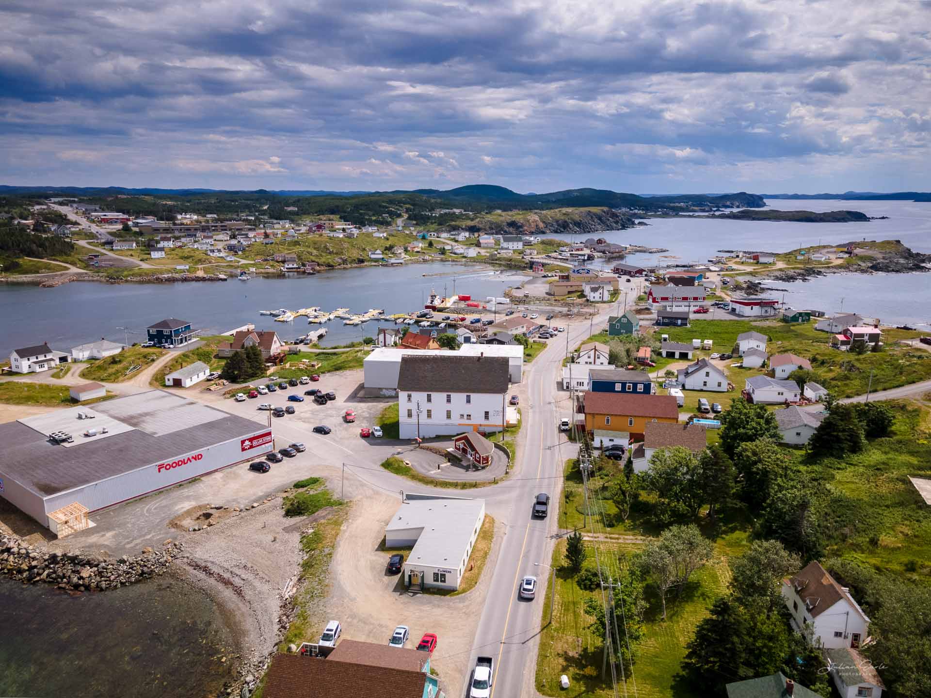
Most of the hiking trails on Twillingate Islands were roads and walking paths to abandoned or resettled communities, berry picking and wood cutting paths, or animal grazing paths (many people would allow their sheep and cows to roam the island freely and graze in the summer months). Other paths, were beaten down over time by fishermen, sealers and older folks walking to look out over the sea.
As Twillingate’s popularity increased, so did interest in recreational hiking. Thanks to local organizations such as, Twillingate/NWI Rural Development, Twillingate Islands Tourism Association, Bayview Sports and Wharf Committee, Hospital Pond Committee and the Towns of Twillingate and Crow Head, projects were granted by the Provincial and Federal Governments to upgrade and extend the paths into hiking trails.
But it wasn’t just local organizations and Government that made the trails what they are today. There were a number of local enthusiasts who left their mark. A few examples include Bert Stuckless, Fred Bridger and Winst Jenkins.
Bert Stuckless
Hopper Pond in Lower Jenkins Cove was a place to fish in the spring, swim in the summer and play hockey in the winter, but it was never an easy task to get around the pond. Bert Stuckless spent many hours at this pond. As he got older and had more time on his hands, he started a path from near his home to Spillers Cove and around Hopper’s Pond. With whatever material he could scrounge up and with help from his friends, what’s now known as the Bert Stuckless Loop was created.
Fred Bridger
Another local champion of the Rockcut Trails was Fred Bridger. Fred has a passion for hiking and spent countless hours marking and cutting new trails on the island. He was the architect of many trails including Wild Cove, Crow Head and Little Harbour. He formed a trail committee that was the start of organized trail management on Twillingate Island.
Winst Jenkins
Top of Twillingate hiking trail traverses to the highest elevation on Twillingate Island, and is located in what’s known as the White Hills. It is said that many years ago when fishermen would travel to Labrador to fish, their first sight of land upon returning home would be the top of White Hills. Winst Jenkins would walk his dog, Pepper, on paths in this area and was told by his father-in-law, Eli Gillard, that there was a path to the highest point. After some searching, Winst found the path, and with help from friends, the Top of Twillingate trail was created.
And so many more…
It’s also important to note that after the collapse of the Cod Fishery in 1992, and in subsequent years, Government Funds were made available to local organizations to create employment. These programs, and all those who have participated, have made significant contributions to the trail system.